
Weather Maps & Forecasts
Storm Prediction Center Severe Weather Outlook
Convective outlook maps showing severe weather risk areas
Day 1 Outlook

Day 2 Outlook

Day 3 Outlook

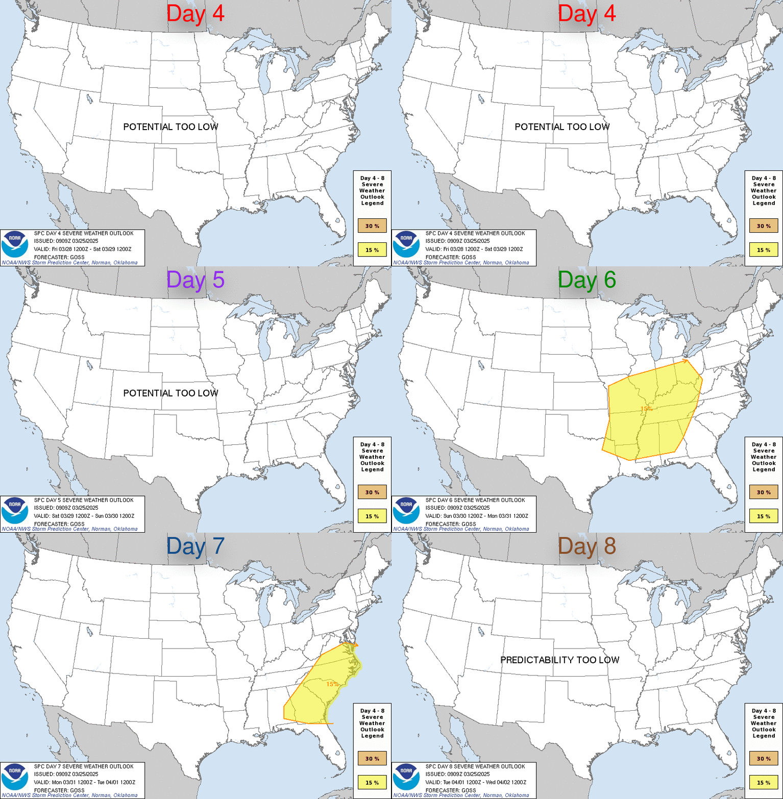
Day 4-8 Outlook
Precipitation Forecast
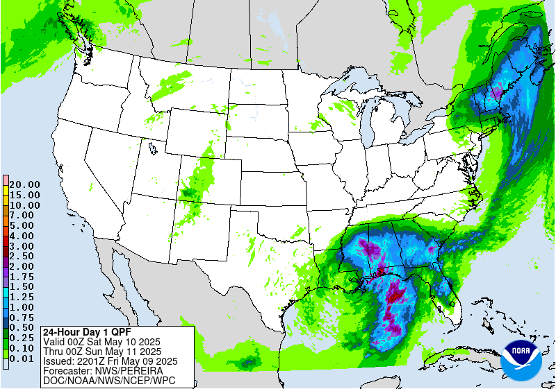
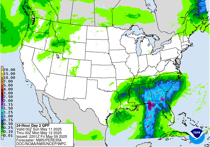
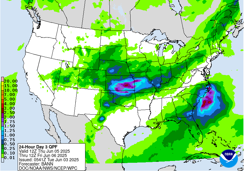
Quantitative Precipitation Forecast (QPF) from Weather Prediction Center
Day 1 QPF
Day 2 QPF
Day 3 QPF
Winter Storm Outlook
National snowfall probability forecasts from Weather Prediction Center
Day 1 Snow Outlook
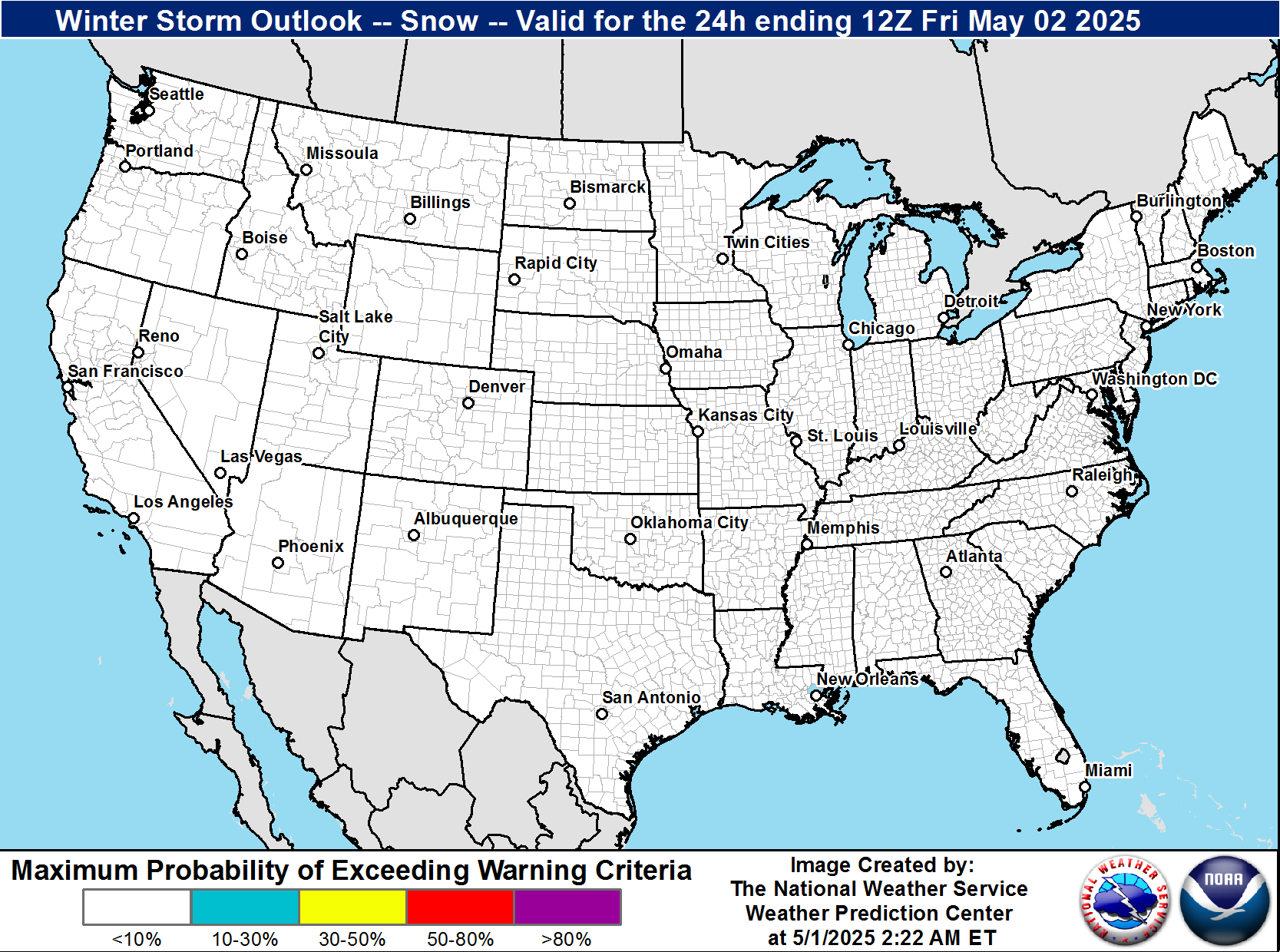
Day 2 Snow Outlook
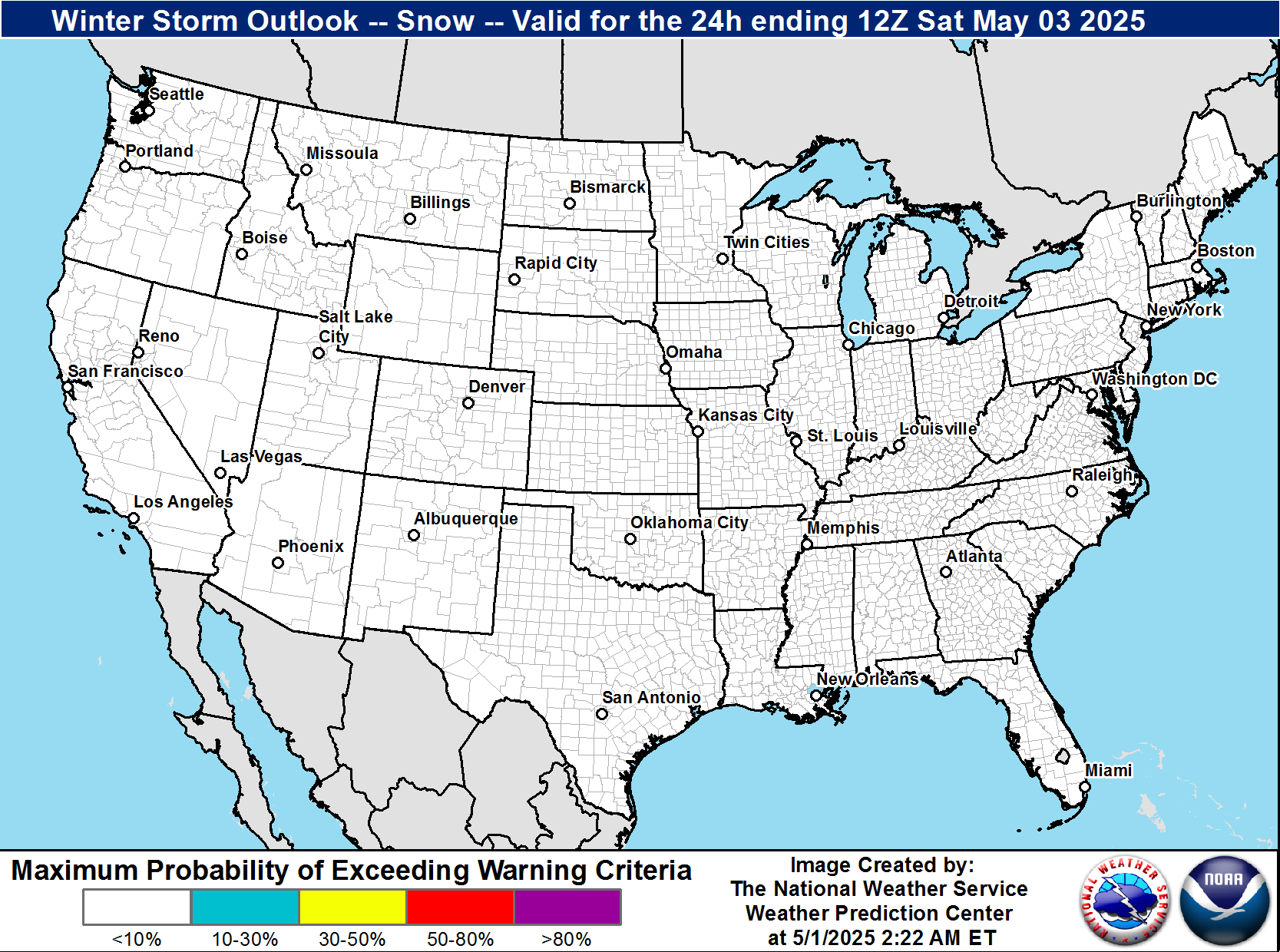
Day 3 Snow Outlook
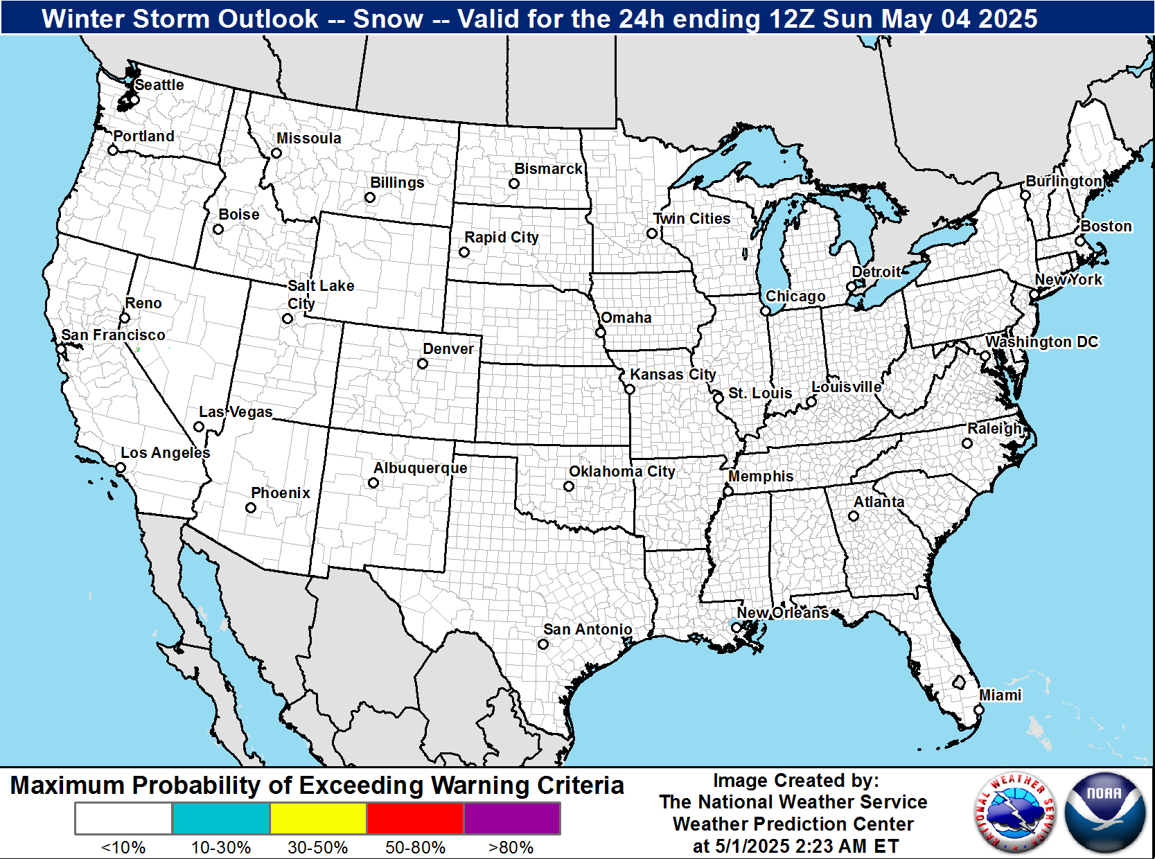
Winter Weather Forecasts - Regional (NDFD)
NWS National Digital Forecast Database snowfall and ice accumulation forecasts for the Mid-Atlantic / West Virginia region. The valid time period is shown on each map.
Expected Snowfall

Expected Ice Accumulation

Local Model Forecasts (Rendered On-Site)
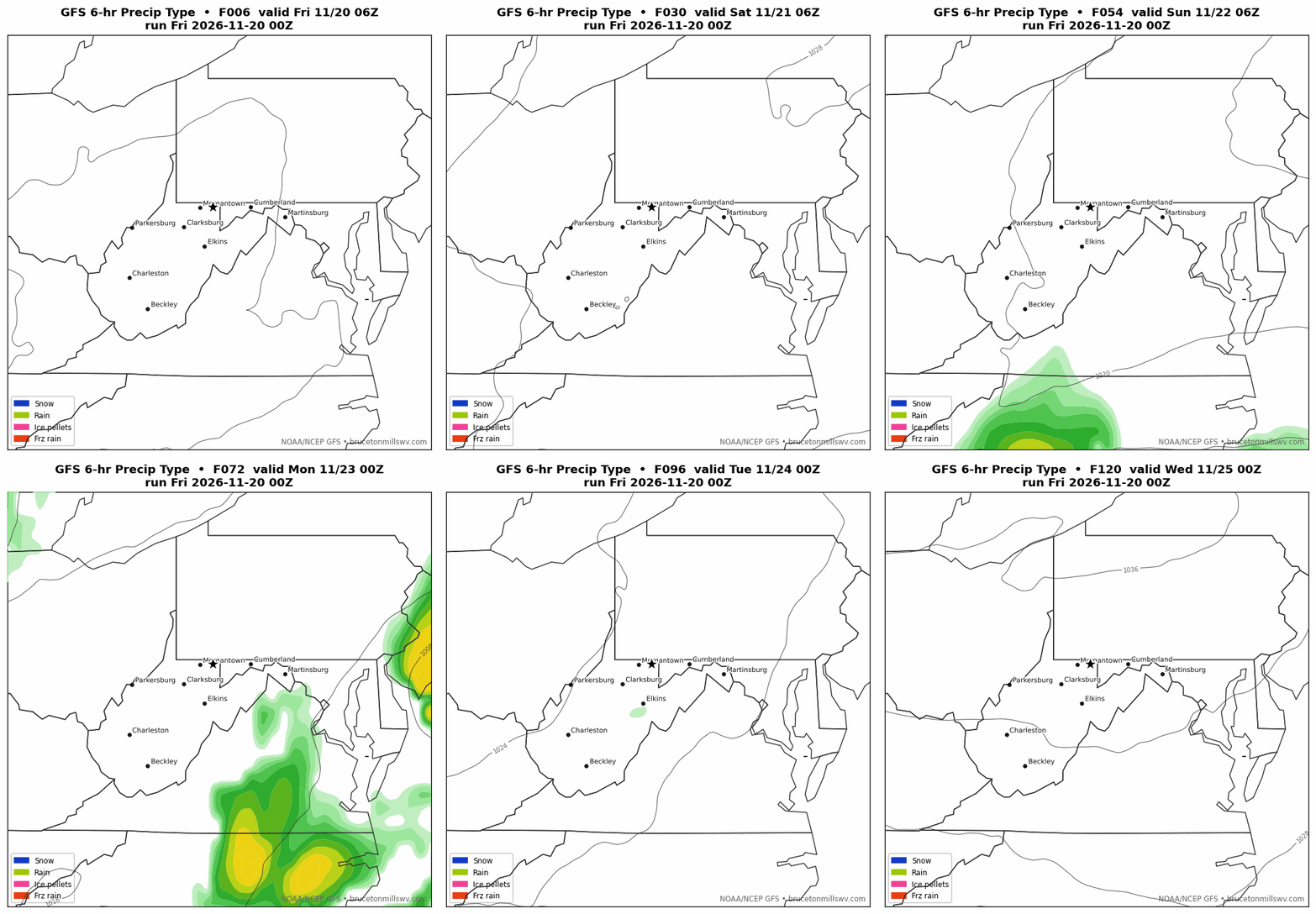
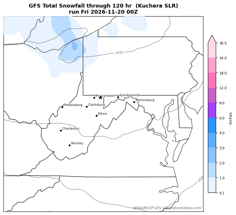
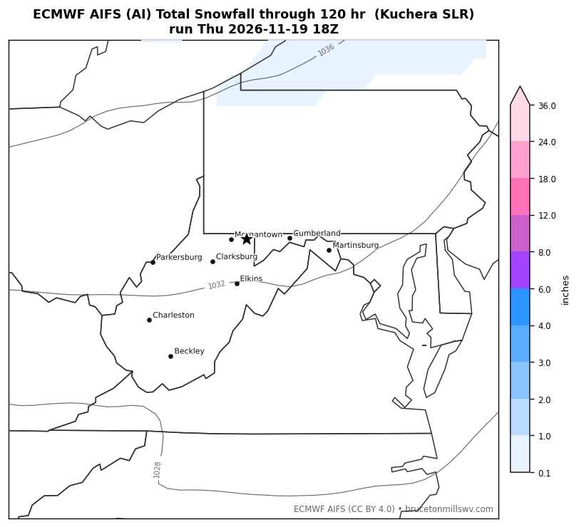
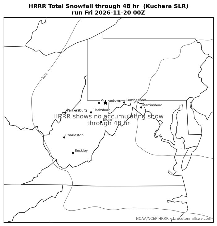
Rendered here directly from NOAA/NCEP (GFS, HRRR) and ECMWF (AIFS) model data — not third-party images — and refreshed automatically with each new model run. Compare a physics model (GFS, 5 days), an AI model (ECMWF AIFS, 5 days), and the higher-resolution near-term HRRR (2 days). Snowfall totals use a temperature-dependent (Kuchera) snow-to-liquid ratio.
Precipitation Type — Next 5 Days (GFS Loop)
Total Snowfall — Model Comparison
GFS (physics) — 5 Days
ECMWF AIFS (AI) — 5 Days
HRRR (high-res) — 2 Days
Extended-Range Snow Outlook (Days 4–14)
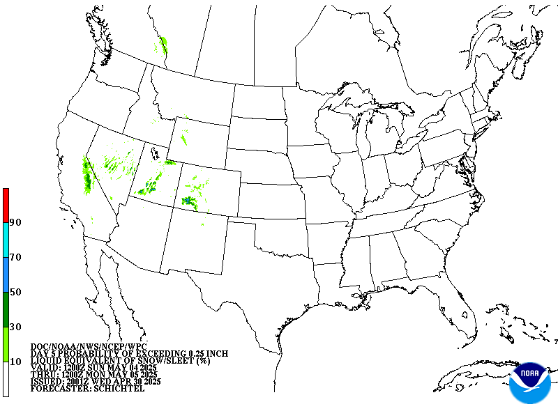
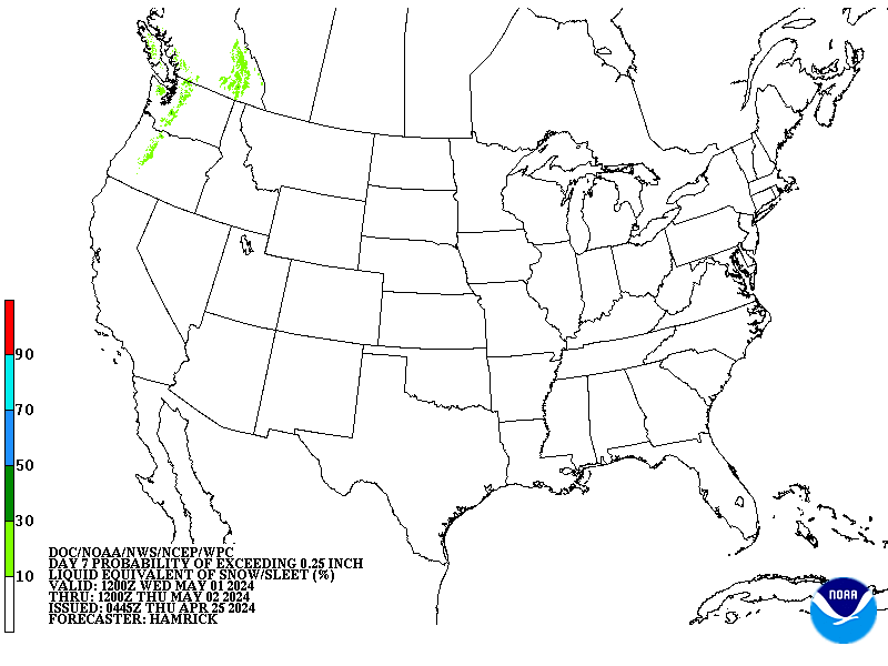
Probability of accumulating snow/sleet beyond the Day 1–3 window, from the Weather Prediction Center (Days 4–7) and Climate Prediction Center (Days 8–14)
Day 4
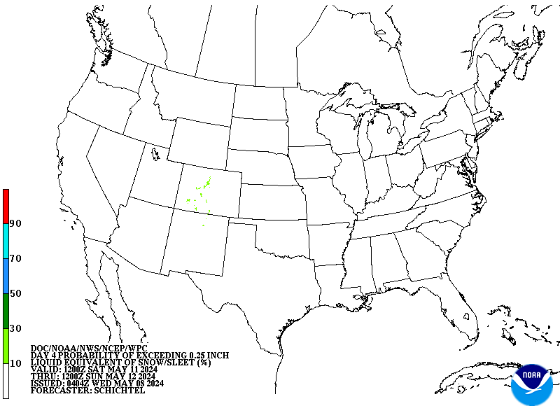
Day 5
Day 6
Day 7
Days 8–14 Snow Probability
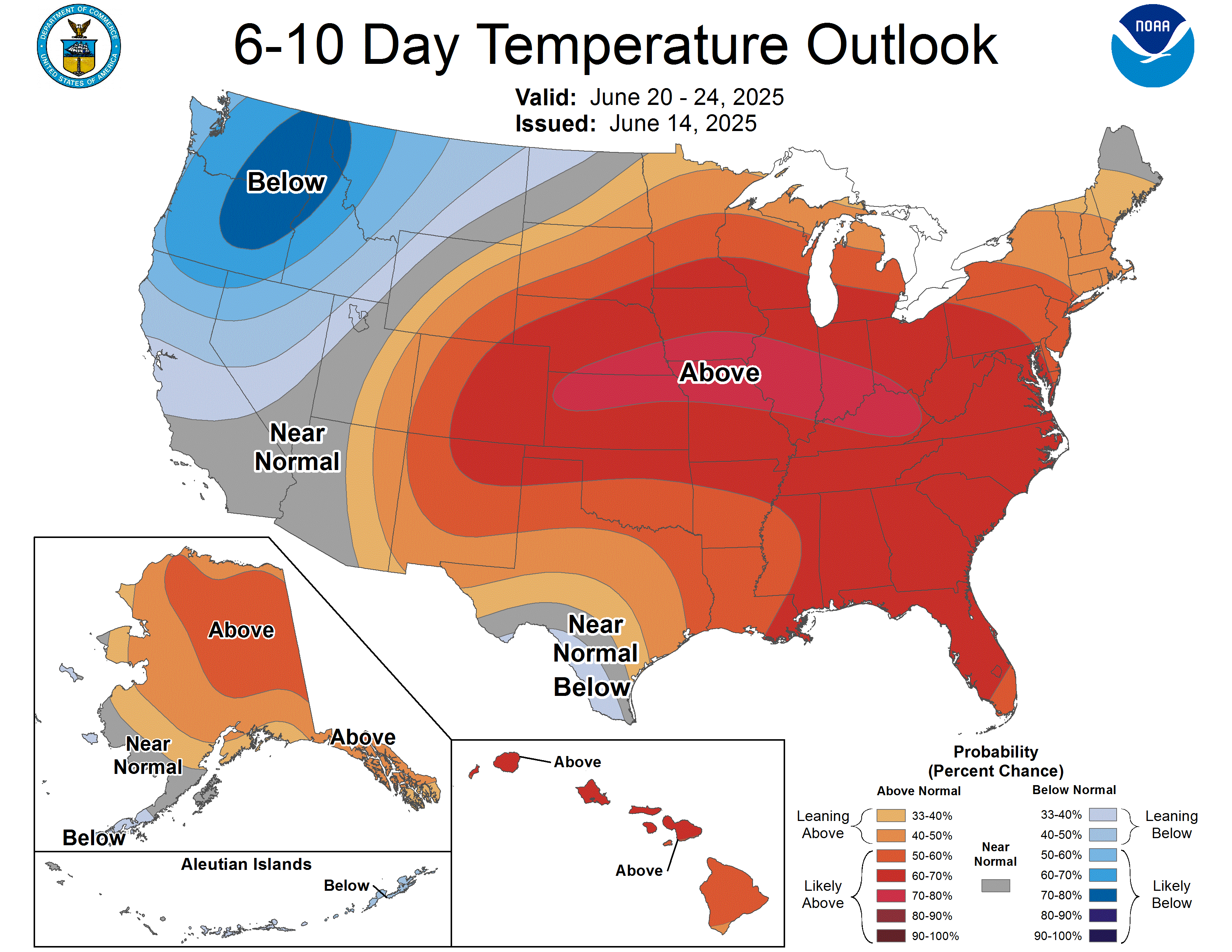
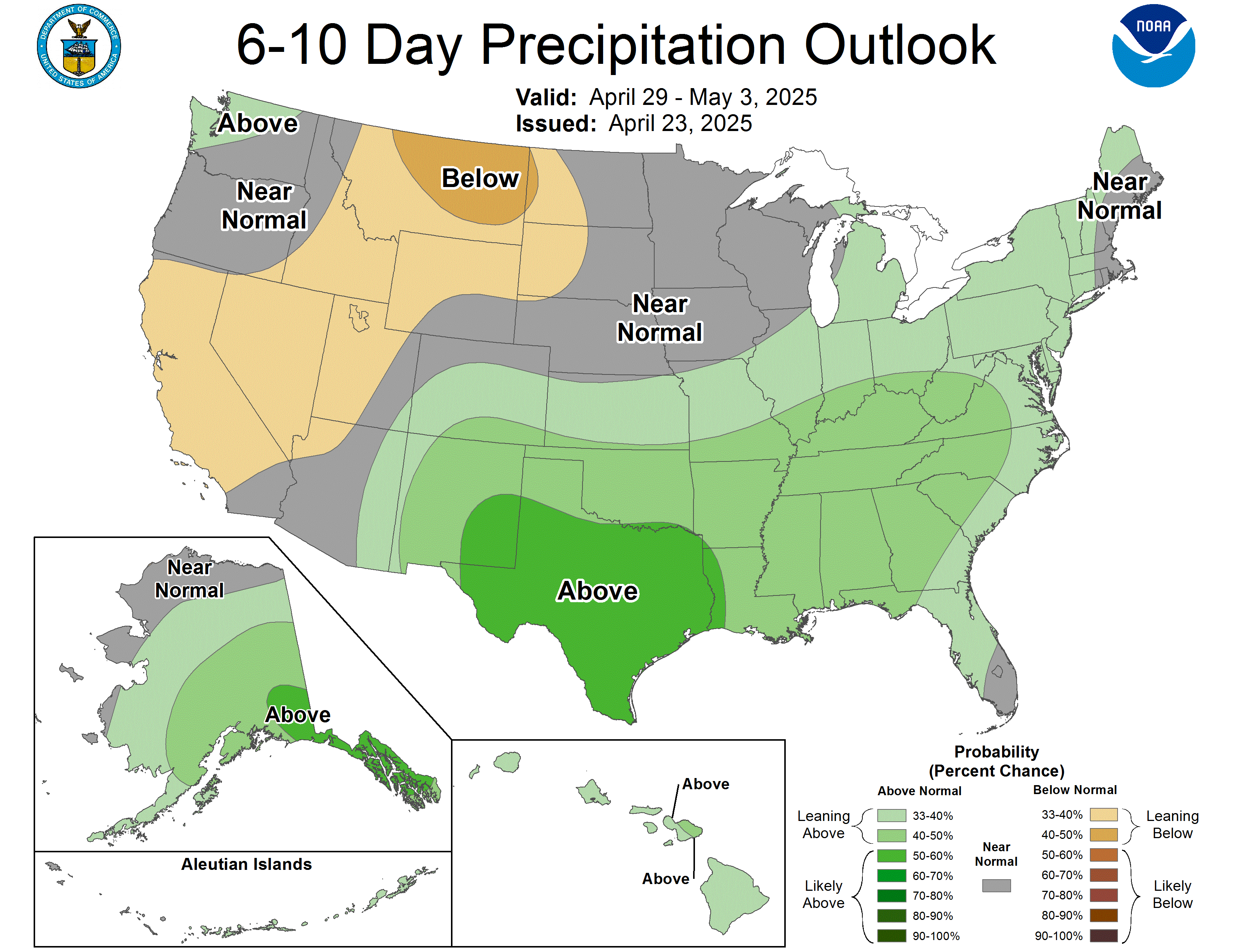
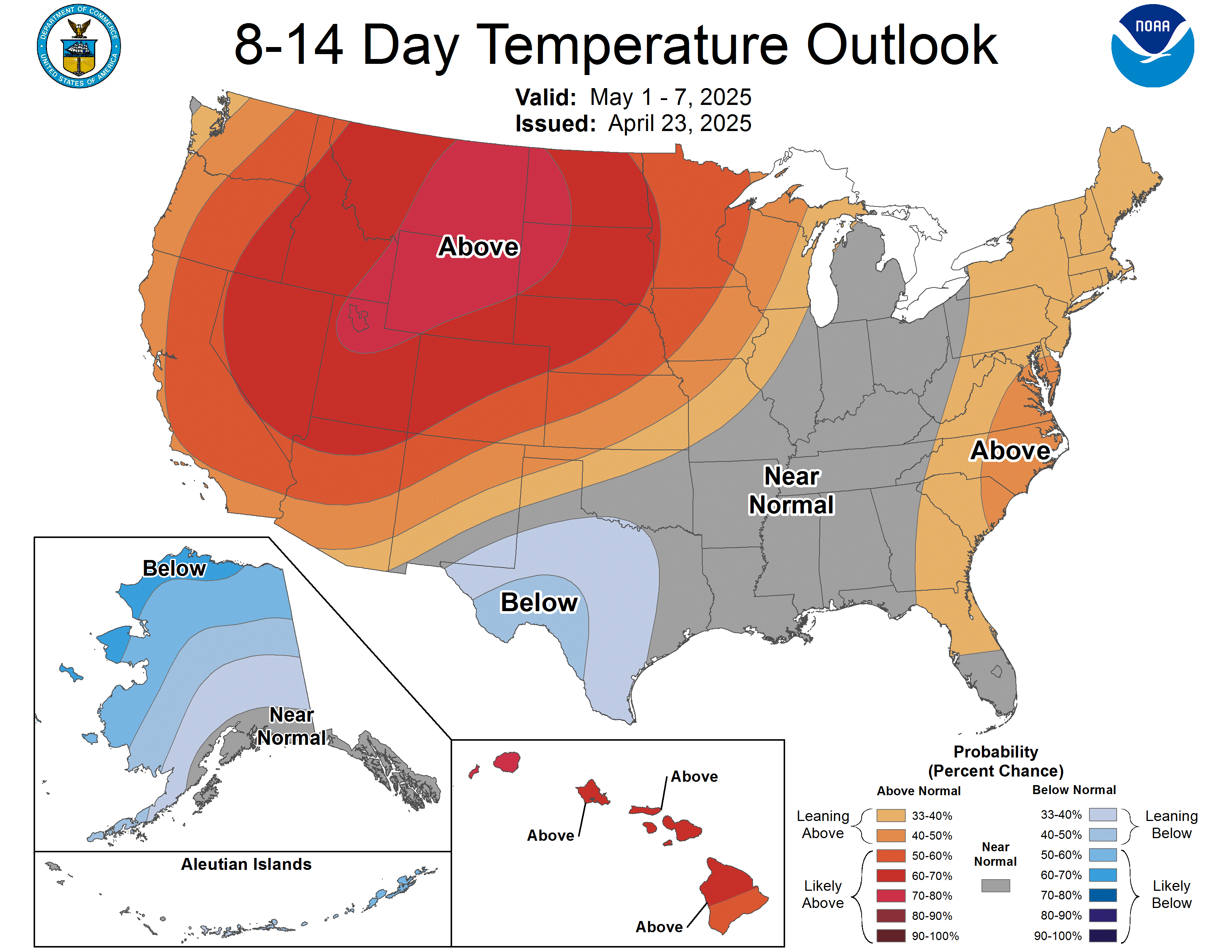
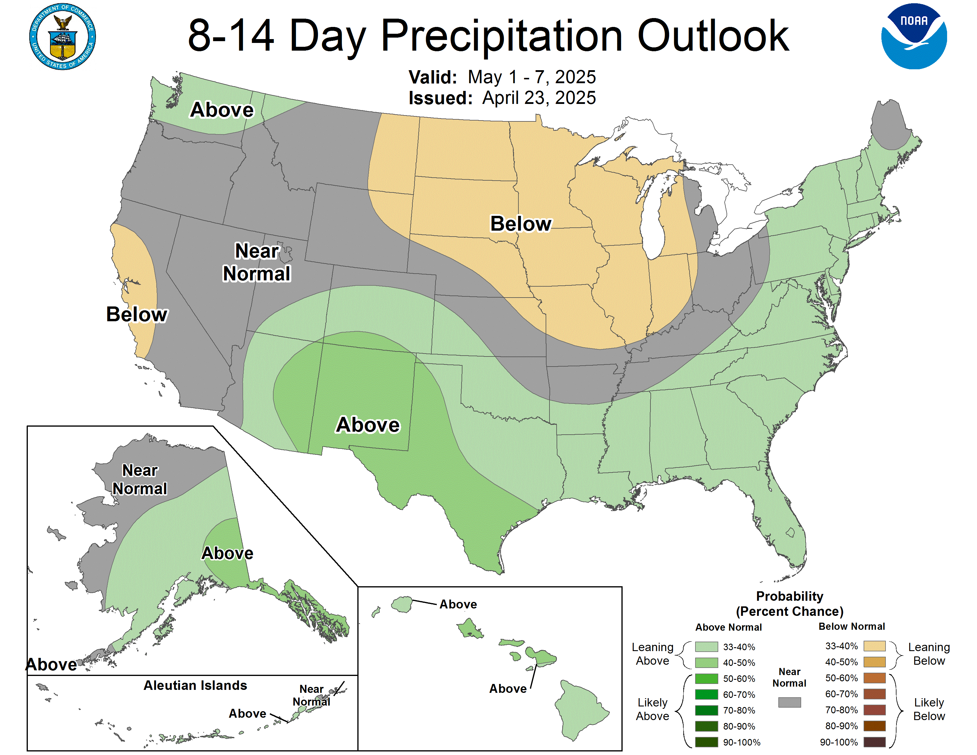
Extended-Range Outlooks (Temperature & Precipitation)
Climate Prediction Center 6–10 day and 8–14 day probability outlooks for above/below normal temperature and precipitation
6–10 Day Temperature
6–10 Day Precipitation
8–14 Day Temperature
8–14 Day Precipitation
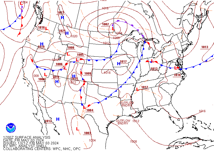
Surface Analysis
Current surface weather patterns and frontal systems
Space Weather
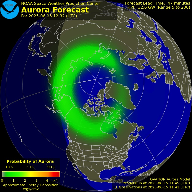
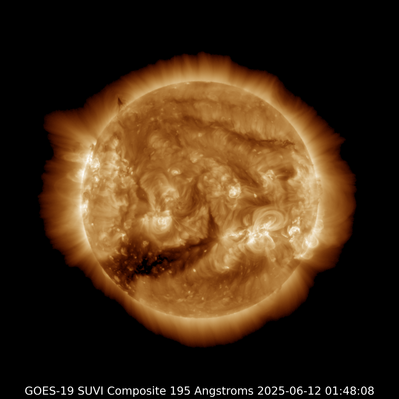
Aurora forecasts, solar imagery, and geomagnetic storm predictions from NOAA Space Weather Prediction Center
Aurora Forecast (Northern Hemisphere)
Current Sun (SUVI 195Å)
Space Weather Overview
Current conditions and forecast summary including solar activity, geomagnetic storms, and radiation levels

Local NWS Forecast Offices
For detailed local forecasts and information:
- NWS Charleston, WV - Serving Southeast West Virginia
- NWS Blacksburg, VA - Serving portions of WV, VA, and NC
- NWS Pittsburgh, PA - Serving Northern WV and Western PA
Data Source: All weather maps and data courtesy of NOAA, National Weather Service, Storm Prediction Center, Weather Prediction Center, and Space Weather Prediction Center. All content is in the public domain. Maps update automatically based on official NOAA schedules. For the most current information, click any map to visit the source page.